We visited the Valley of Death in Gettysburg. For all its death and destruction on that second day of the battle, there is another battle that topped it for the bloodiest day in American history – Antietam! But before we get there we must first fill in the gaps, four of them to be precise. One on Catoctin Mountain and three on South Mountain.
Lee had just scored impressive victories in northern Virginia. In the last days of August he defeated the north at the second battle of Manassas. The time was ripe for a campaign in the North. Lee gathered his troops in Leesburg (named after an ancestor) and in early September, 1862, crossed the Potomac at Cheek’s Ford, just a bit below the confluence of the Monocacy, and moved the army to the outskirts of Frederick, Maryland.
Lee’s plan, according to lost order 191, was to cross South Mountain to the west. He sent Jackson’s troops to capture the federal garrison in Martinsburg, McLaws to capture the federal garrison in Harpers Ferry, Longstreet to camp at Boonsborough. D. H. Hill was to act as a rear guard, defending the passes over South Mountain. Jeb Stuart’s cavalry was farther east watching for McClellan and the Army of the Potomac as they moved west from Washington to repel the invasion.
Hagan’s Gap
McClellan was only a day or two from Frederick when the Rebel forces moved to their assignments on South Mountain or beyond. Jeb Stewart set up a defensive line at the Monocacy on the National Pike just outside of Frederick but was soon pushed back through Frederick. On September 12, 1862 some of his troops took a stand at Hagan’s Gap in Catoctin Mountain just west of Frederick.
Hagan’s Tavern, built around 1800, sits on the National Pike east of Hagan’s Gap. That Silver Maple is allegedly over 300 years old, so both it and the Tavern would have witnessed the fighting as Union forces cleared the Confederates from the gap. If you believe some of the advertising, it would have witnessed George Washington visiting the tavern much earlier.
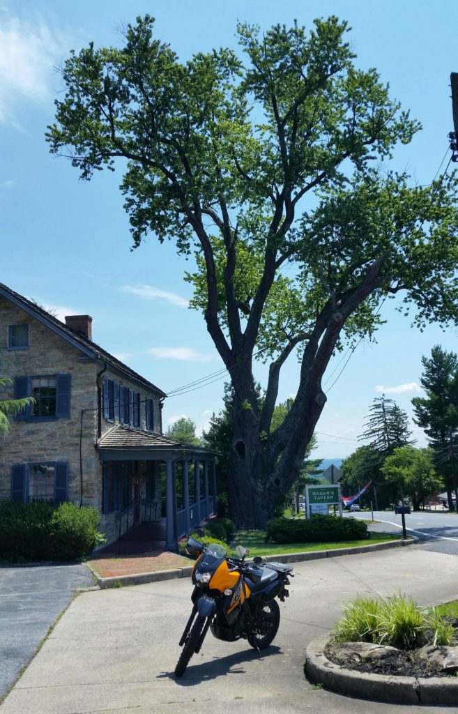
KiLleR Bee returns eastward from Hagan’s Gap, also known as Braddock’s Gap, a half mile from I-70. The tavern and the tree stand out on the left side of the old National Pike.
Fox’s Gap
After chasing the defenders at Hagan’s gap, Federal forces followed the National Pike west, spending the next day fighting skirmishes through Middletown. September 14, 1862, they marched on to Turners Gap in South Mountain. Finding it well defended, they tried to outflank the Rebels by crossing the mountain at Fox’s Gap, one mile to the south.
Though they were just a small force, the Confederates were waiting for the Union attack and a bloody firefight ensued. By the end of the day casualties on that small pass were around 2000. At Antietam six cannons planted barrel down mark the spots where generals died. Here, at Fox’s Gap, two generals were killed.
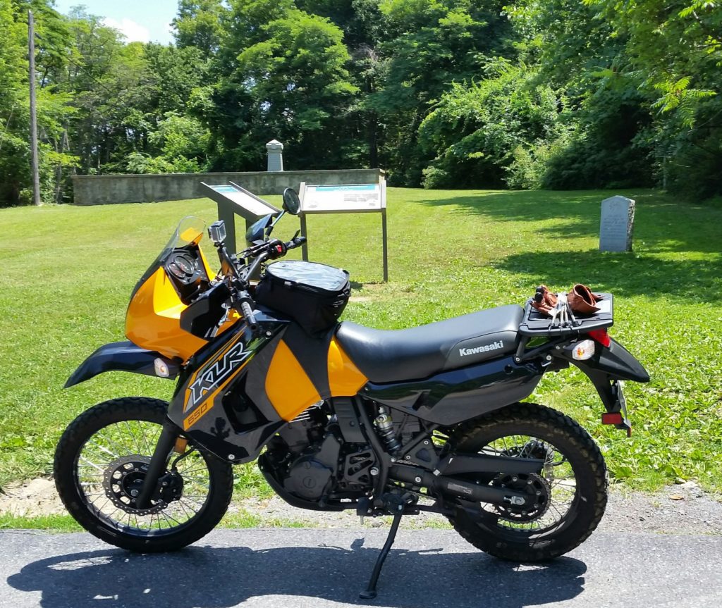
Behind KiLleR Bee in the photo below is the monument to General Reno of the North. The tombstone-like marker on the right commemorates General Garland of the South. Rutherford B. Hayes, future president, was seriously wounded at Fox’s Gap.
The aftermath to the battle at Fox’s Gap has its own interesting story. Daniel Wise’s subsistence farm was astride the gap, his cabin about 50 yards west of the Reno Monument. As the grizzly task of burying the dead proceeded, 58 or so Confederate bodies were dumped down his well that was dry. Two accounts here. One story says the Union burial detail dumped the bodies. A second contends that Wise was paid a dollar per body to dispose of the corpses. A decade and a half later the bodies were removed and given a proper burial.
An old postcard photo shows both the Reno Monument and the Wise cabin, which was torn down in 1919. If you calculate from that photo using Google Maps, the cabin appears to be where the parking lot for the Reno Monument and the Appalachian Trail currently exists. Some say the well was to the west front of the cabin. KiLleR Bee in the northwest corner of the parking lot.
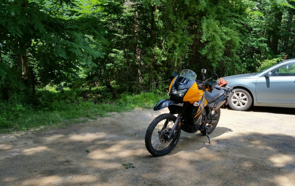
KiLleR Bee approaches Fox’s Gap from the west.
Turner’s Gap
Meanwhile back at Turner’s Gap, where the old National Pike crossed South Mountain, Confederate general D. H. Hill had set up his headquarters at the Old South Mountain Inn, which had been established in the early 1700’s. When the National Pike was established in the early 1800’s the inn became an important stop.
Throughout the day Hill had been able to hold the gap against the much larger Union forces. By evening the Union held the high ground around the gap. Knowing that the gap was now indefensible, Lee ordered Hill to withdraw the troops that night.
Below KiLleR Bee looks south across old National Pike to the Old South Mountain Inn at Turner’s Gap. Immediately to the east the Appalachian Trail crosses the road. The eastern edge of the inn’s parking lot provides parking for the Trail.
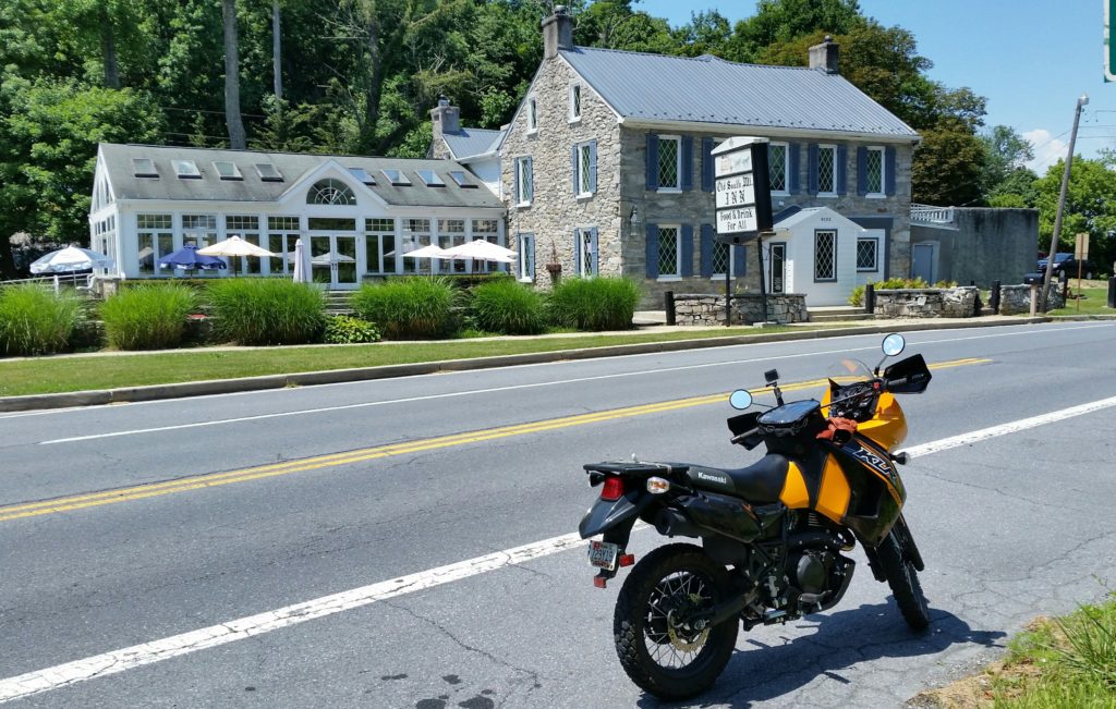
Following the path of the Union advance, KiLleR Bee rolls up the National Pike to Turner’s Gap and Old South Mountain Inn.
Crampton’s Gap
If you follow the Appalachian Trail south from Fox’s Gap, in just a little over six miles you come to Crampton’s Gap. This gap was defended by some of McLaws’ troops, because this gap exposed the back of his army as he took Maryland Heights, a key point in attacking Harpers Ferry.
The Federal forces were able to sweep up through Crampton’s Gap. The next day they were preparing to attack McLaws. Stonewall Jackson, having completed his mission in Martinsburg, joined the effort against Harpers Ferry, which soon fell. This allowed McLaws forces to escape through Harper’s Ferry, circle back, and eventually rejoin Lee at Antietam.
After the war this gap became the estate of Townsend, a civil war correspondent, who wrote under the pen name of Gath. His estate is now Gathland State Park. KiLleR Bee sits in front of the War Correspondents Memorial Arch, which Townsend completed in 1896, dedicated to correspondents killed during battle.
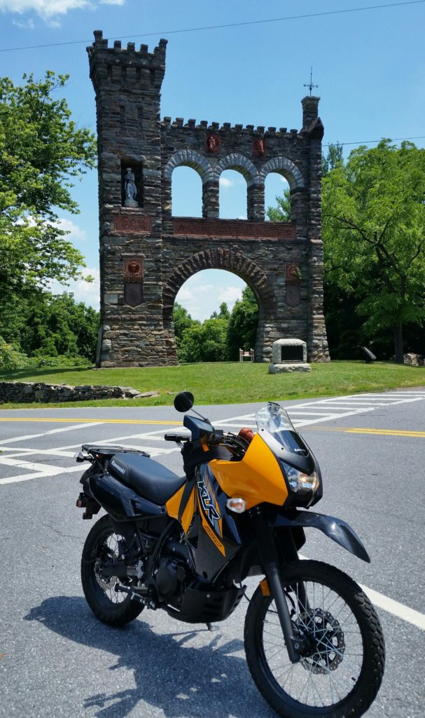
Ascending Gapland Road from the west, as you reach Crampton’s Gap, the Memorial Arch dominates your field of view.
By pushing through the gaps of South Mountain, McClellan hoped to “cut the enemy in two and beat him in detail”. Though they eventually yielded all the gaps, the Confederate soldiers’ stubborn resistance gave Lee time to unite his army and take up defensive positions behind a little creek, a creek called Antietam.
Quick reading note: I have found the Emerging Civil War Series to be quite helpful. They are part auto tour guide and part history. Great for finding historical stuff in today’s landscape. “To Hazard All” is the volume on the Maryland campaign.