A Peaceful Church
Peering through the fog from the North Woods on that fateful morning, Union officers thought it was a school house. But no, it was the Dunker Church, a Brethren church committed to non-violence, pacifists who would not serve in the military. The building marked an adjacent plateau that gave artillery a commanding presence. At the moment that artillery belonged to the Confederates.
The Dunker Church, standing there today is not the original church, but then again it is. Let me explain. After the battle and extensive damage to the church, the congregation repaired it and services resumed. But in 1916 the congregation moved to a new location and allowed the building to deteriorate. Souvenir hunters stole bricks. Then in 1921 a violent storm knocked down the walls, reducing it to a pile of rubble.
The property and ruins were sold to Boyer, who salvaged the material from the ruins, placed it in his shed, then sold the property to Turner. Turner built a frame structure on the old foundation, turning it into a tourist trap, selling food and souvenirs during the 30’s and the 40’s. In the early 50’s the Washington County Historical Society purchased the property and donated it to the National Parks Service. For the Civil War Centennial, they rebuilt the church on the original foundation. And they used the original material, still in Boyer’s shed.
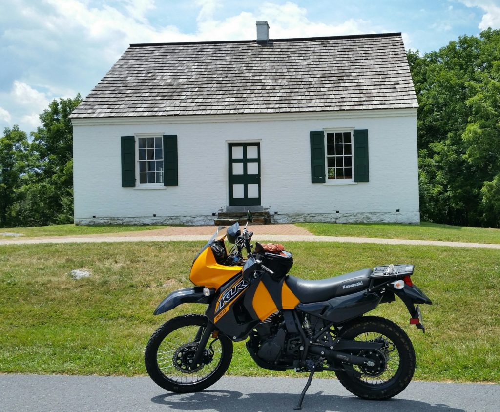
As you leave the Visitor Center parking lot, you can’t miss the Dunker Church.
West Woods
Just north of the Dunker Church lies the West Woods where the battle commenced at daybreak. In that opening hour of fighting, the first of six generals died, General Stark of the Confederates. His mortuary cannon is on the right as KiLleR Bee finishes rounding the circle in the West Woods.
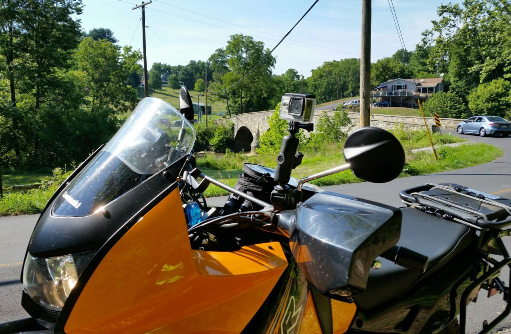
The Upper Bridge
But wait a minute! The West Woods is about 2 miles west of Antietam Creek. And the first artillery salvos were fired from Nicodemus Heights at Union forces near the Poffenburger farm, also a mile west of Antietam Creek. How did Federal troops get there? Wasn’t the creek a defensive line for the Confederates?
The day before, McClellan dispatched Hooker with I Corps across the Upper Bridge to a position north of the Confederates. At midnight he reinforced with Mansfield and XII Corps. These troops would attack southward against Lee’s left flank. Down through the Cornfield. Down through the bloodiest battle of that bloody day.
The Union boots in that Cornfield had marched across the Upper Bridge the day before.
KiLleR Bee follows the Union route from the stone bridge crossing Little Antietam Creek to the Upper Bridge also made of stone, which crosses Antietam Creek. Of all the stone bridges at Antietam, only Middle Bridge is gone, a victim of the same storm system that devastated Johnstown, PA, in 1889. Upper Bridge is now just a road bridge that is well outside the Antietam Battlefield, as you can see, open to traffic. No markers that I could see indicated it as the Union corridor to the Cornfield. The one sign that looks like a history marker is illegible and toppled.
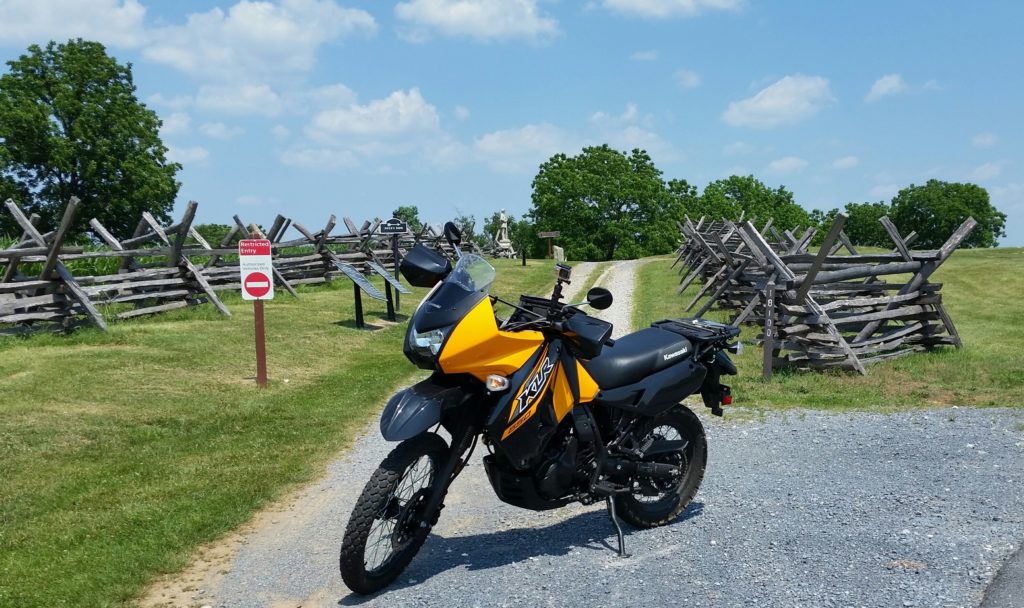
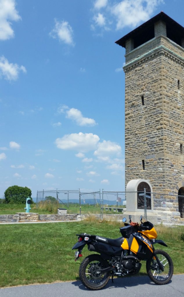
The East Woods
On the way from Upper Bridge, as you near the battlefield, lies the East Woods. Here Mansfield, Major General of the XII Corps was gunned down. KiLleR Bee rolls from the Mansfield mortuary cannon on the left to his monument, all of this along Mansfield Road.
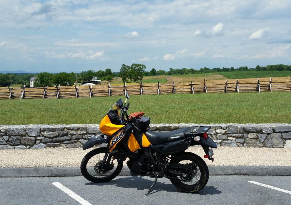
A Terrible Harvest
Looking north across the Cornfield you can see the Miller farmhouse on the left. And beyond, the North Woods. If you were to turn around, you would see Dunker Church to the right, and across from it the high ground, Hooker’s objective that morning. For seven hours the battle raged. And like the corn, the men were mown down and laid in rows. Probably the most bloody piece of real estate in US history. Only 2606 at the Twin Towers.
Sunken Lane
While Union troops, at great cost, cleared the Cornfield, II Corps crossed Antietam at Pry’s Ford and attacked the Confederates at Sunken Lane. Fifty five hundred casualties later it was named Bloody Lane, as the Federals finally claimed ascendancy there, too.
In the video, General Anderson’s mortuary cannon appears immediately to your left, to the right of the tree. As we go down Bloody Lane toward the observation tower, the actual Sunken Road tracks just to the left. General Richardson’s mortuary cannon sits at the base of the tower.
A Bridge Too Far
At the Lower Bridge, Burnside and the IX Corps were trying to cross, but being repulsed by a handful of Georgians. Finally the 51st of Pennsylvania and the 51st of New York took the bridge which now bears the name, Burnside Bridge. Allegedly the Pennsylvanians fought for more than victory – restoration of their whiskey ration.
Unlike the Upper Bridge, this bridge is part of the National Battlefield Park. It no longer carries vehicular traffic, and in the summer is a bridge too far to see well from the road. Below is KiLleR Bee on the shoulder of the road with Lower Bridge just visible above it. Directly behind the bridge you can see a Sycamore tree, the Burnside Bridge Witness Tree. Photographs taken days after the war show it as a sapling in that same spot.
The Final Attack
West of the bridge the final attack of the day played out. Having crossed the bridge, Federal forces made good progress against the Confederate defenses and approached the town of Sharpsburg. At just the right time and in just the right place, A.P. Hill’s division arrived from Harpers Ferry, driving the left flank of the Federals back toward the bridge. And there the last general, General Branch of Hill’s division, was struck down.
As KiLleR Bee crests a small hill, Branch’s cannon appears to the right. We missed General Rodman’s mortuary cannon, 3/10 of a mile off the road, inaccessible to KiLleR Bee. Also in the area of the final attack.
Night fall found both armies still on the field. The next day they waited for each other to attack, but none did. That evening Lee took his army back to Virginia. The battle may have been a draw, but Lee’s Maryland campaign was over. His string of victories was over. More importantly, it was enough of a northern victory for Lincoln to issue the Emancipation Proclamation. That was enough to delineate the war as Slave versus Free. And that was enough to keep Europe from recognizing the Confederacy.
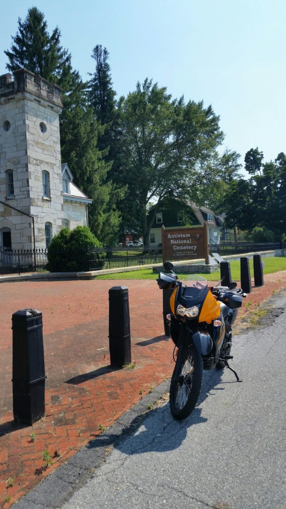
The Union dead found their final resting place at Antietam National Cemetery. Confederate dead were interred in cemeteries at Frederick and Hagerstown in Maryland, and Shepherdstown in West Virginia.
Reading note: “That Field of Blood” is the Emerging Civil War Series volume that covers Antietam.