Alexandria, VA
Alexandria was ground zero for Braddock’s march. Well, maybe Braddock’s Field on the banks of the Monongahela was the true ground zero. But Alexandria was mile zero of Braddock’s march. And in particular, the Carlyle House.
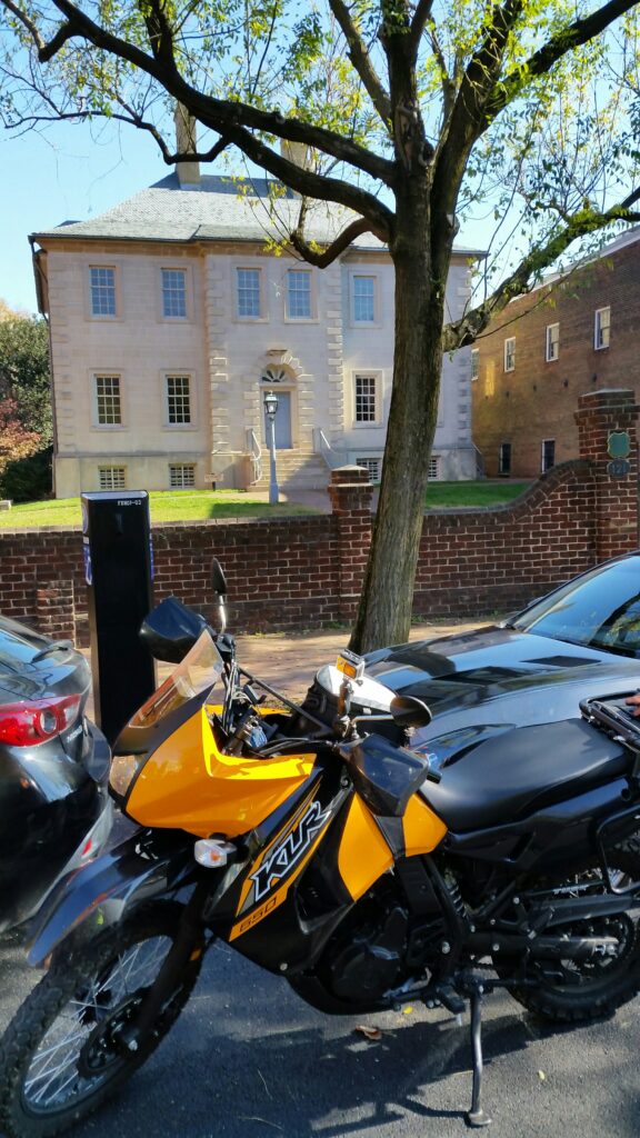
Braddock’s ships first touched land in Hampton, Virginia, then sailed up the Potomac River to Alexandria. They could sail no farther because the Great Falls blocked the river. So here they disembarked and set up camp for the next month while preparing for the march. During this time Braddock stayed in a second floor guest room at the Carlyle House.
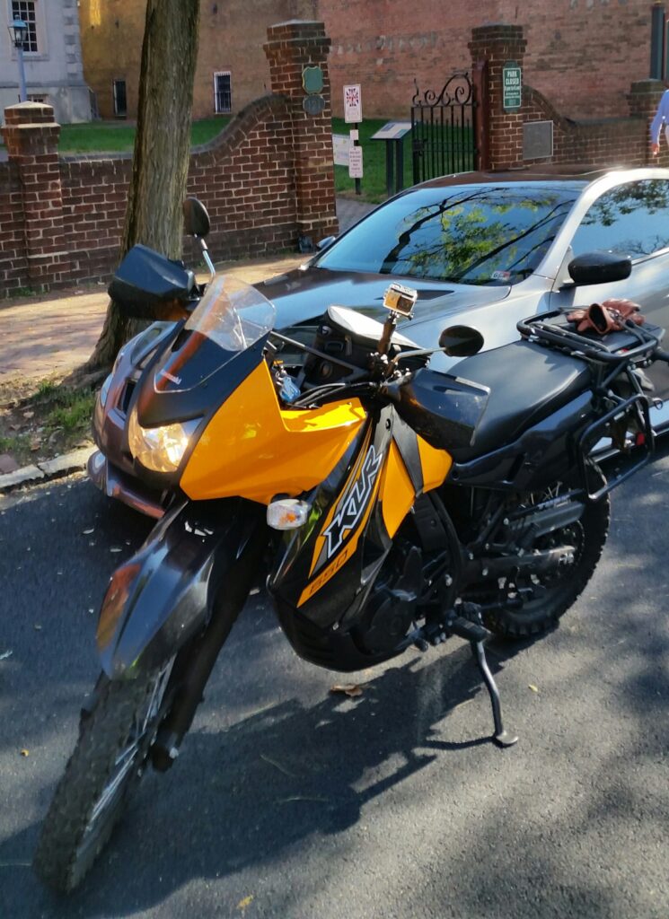
Just above KiLleR Bee, and through the gates, you see several signs. On the post with the 3 signs, the top one is a British flag with 1755 across it and the words “Historic Braddock Road”. The little white sign just beneath it declares “Braddock Road Mile 0”. So from here the troops under Dunbar marched north crossing the Potomac into Maryland, across South Mountain, crossing the Potomac again to north of Winchester, Virginia. From here the main force under Halkett marched west through Virginia, generally following what is today Route 7, to join up with Dunbar’s regiment north of Winchester.
A few miles from the Carlyle House, on the appropriately named West Braddock Road, the Society of Colonial Dames of America set up this cannon to mark the trail of Braddock’s army. Braddock had actually left this cannon behind in Old Alexandria.
Great Falls, VA
The above sign, in the parking lot for Colvin Run Mill Park in Great Falls, proclaims ” In 1755, during the French and Indian War, a brigade of Maj. Gen. Edward Braddock’s army traveled the road on its ill-fated march to Fort Duquesne.” You can see that road, Colvin Run Road, just on the other side of the fence. This road was left as a byway when they straightened out Route 7 (Leesburg Pike).
Waterford, VA
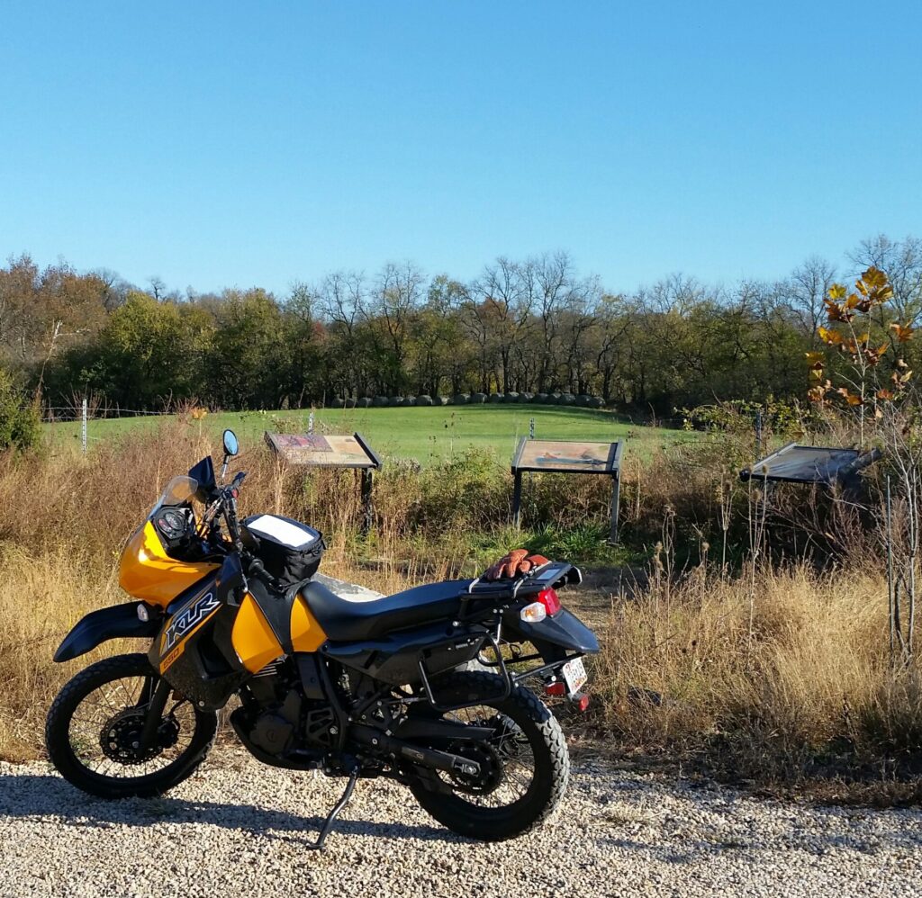
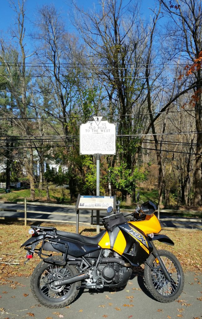
As you near Blue Ridge Mountain, you leave Route 7, heading north toward Keyes Gap where Halkett’s brigade crossed into the Shenandoah Valley. One of the routes believed taken by Halkett was Old Wheatland Road, heading west from Waterford. The sign on the left reads, ” British General Braddock’s troops rode down Old Wheatland Road (behind you) on his ill-fated expedition against the French and Indians in 1755.” Just a bit west of this parking lot, Old Wheatland Road becomes a gravel road for several miles. Ultimately it rejoins Route 9 (the Charlestown Pike).
Keys Gap, VA / WV Border
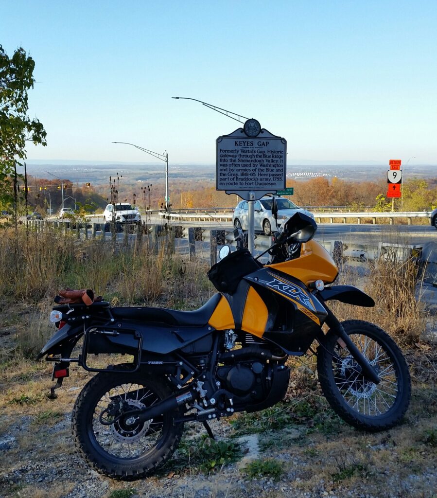
Halkett’s brigade crossed Blue Ridge Mountain at Keyes Gap, one of the lowest crossings in Virginia. As you crest the gap from the east, the Shenandoah Valley spreads out before you. The last sentence of the sign reads, “Here passed part of Braddock’s army, 1755, en route to Fort Duquesne.”
Cresting Keyes Gap KiLleR Bee cruises down Route 9 to the Shenandoah. On pursuing Braddock’s Death March, I experience my own garbage bag induced Death Wobble. A state trooper parked on the right shoulder, lights flashing. Of course you move over to the left. But he was stopped to get a garbage bag out of the left lane.
Middleway, WV
Now you’re in the Shenandoah Valley. Halkett’s brigade is marching west. Dunbar is leading his brigade down the Great Wagon Road, south from crossing the Potomac at Williamsport. St. Clair, Braddock’s advance man had cleared a road north of Winchester across to Fort Cumberland.
Some think the brigades met up in Middleway and together marched west to Fort Cumberland. The Great Wagon Road (roughly US 11) is miles west of Middleway, which was Dunbar’s likely route. Also, Halkett’s brigade seems to have reached Fort Cumberland well before Dunbar’s brigade.
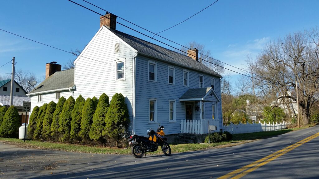
Halkett and his brigade certainly marched through Middleway. The Moses Smith House had been built 3 years before, so was standing as they marched passed. Entering Middleway from the south, KiLleR Bee rolls past the Moses Smith house on the left.
Winchester, VA
With St. Clair’s new road, Braddock’s army skirted Winchester to the north. But Braddock, along with Washington, visited Winchester for four days, waiting to meet with Indian chiefs, who never showed.
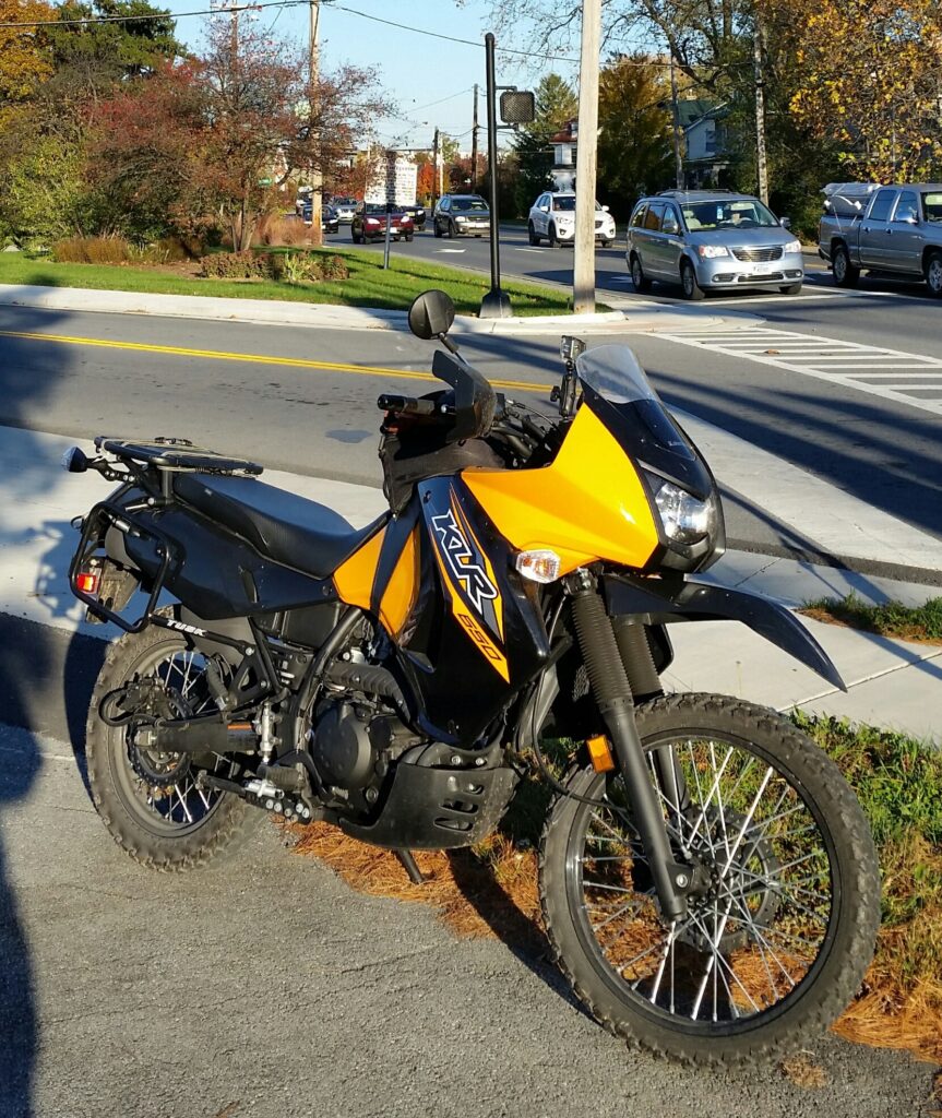
The sign, just above KiLleR Bee’s mirror is cut in half by shadows from the lowering sun. Again it documents Braddock’s march, “In 1755, General Edward Braddock of the British army, accompanied by George Washington, passed here on his way to defeat and death at Fort Duquesne.”
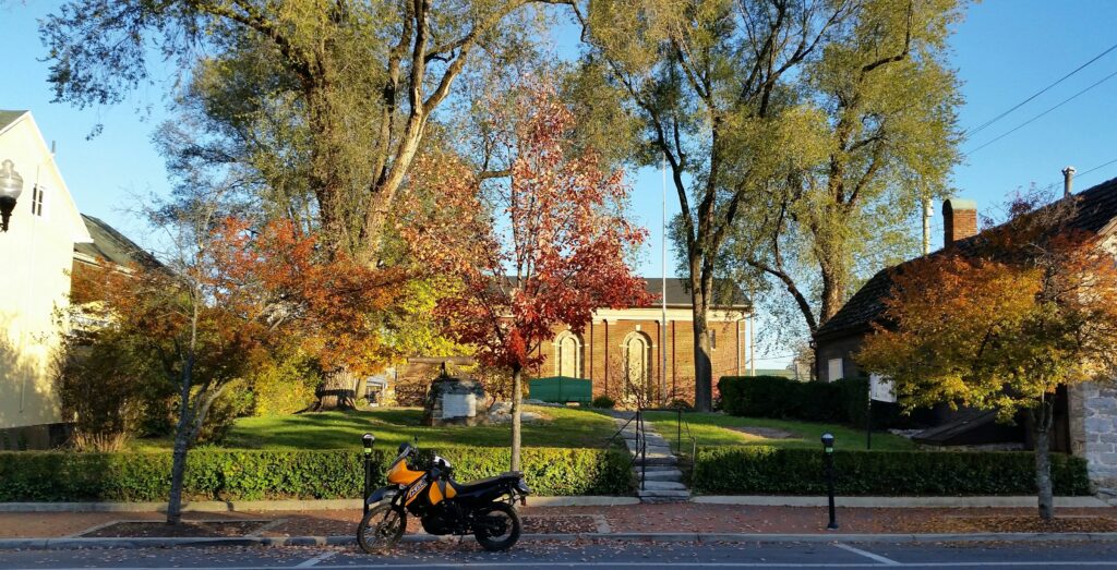
In Winchester the Society of Colonial Dames of America was at it again, setting up another of Braddock’s abandoned cannons. The cannon is just above KiLleR Bee. The white plaque on its base stands out. After the Braddock debacle, George Washington set up an office in the building on the right side of the photo.
Reading note: I found Crocker’s “Braddock’s March” to be an overall helpful historical account of the March. Baker’s “Braddock’s Road” focuses on an almost mile by mile examination of the route of Braddock’s Road in today’s landscape. Essential for riding history.